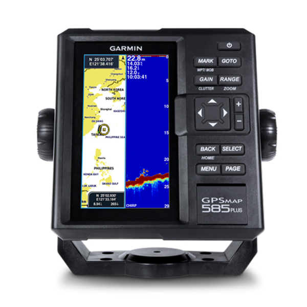
GPS-Combo, 6, Colour, MAP-585 plus, CHIRP, SEA Display Head
categories:
Discount Items, Engineering Product, Marine GPS, Selling Products
Availablity: in stock
SKU: 0100.1711.02
မြန်မာဘာသာဖြင့် အသုံးပြုနိုင်ခြင်း၊
(၆) လက်မ Colour မျက်နှာပြင်ဖြင့် အသုံးပြုနိုင်ခြင်း၊
Way Point (12,000), Track (100), Route (200) အသုံးပြုနိုင်သည်။
W600 Sonar ဖြင့်ရေအောက်သို့ကြည်လင်ပြတ်သားစွာ ကြည့်ရှုနိုင်ခြင်း။
This price is inclusive of 5% commercial tax.
Description
- Multi language support : English, Simplified Chinese, Traditional Chinese, Japanese, Korean, Indonesia Bahasa, Malaysia Bahasa, Vietnamese, Burmese, Thai.
- Available in 6-inch WVGA color, portrait mode display. Offers a keyed interface with dedicated buttons.
- CHIRP sonar sends a continuous sweep of frequencies ranging from low to high. CHIRP sonar is able to create crisper fish arches with better target separation.
- Built-in 600 W (RMS) CHIRP traditional sonar and CHIRP ClearVü scanning sonar gives a clearer picture of what’s below the boat as a photographic image with representation of objects, structure and fish.
- Compatible with GPS, GLONASS and BeiDou powerful positioning systems what quick and easy to drop up to 12,000 accurate waypoints let you find your way back to your secret fishing hot spots.
- Free, easy-to-use Quickdraw Contours software instantly creates personalized HD fishing maps is included.
- GPSMAP 585 Plus supports for typical NMEA0183 and RS422 communication within 3rd party sensors and accessories.
- 2 standard SD™ card slots provides expandable memory for accessory map purchases such as LakeVü HD Ultra maps and BlueChart® g2 Vision® charts.
Physical & Performance
| Physical dimensions | 176.0 mm x 190.0 mm x 66.0 mm (6.93” x 7.48” x 2.60”) |
| Display size, WxH | 2.83″ x 5.36″; 6.0″ diagonal (72.0 mm x 136.2 mm; 152.4 mm diagonal) |
| Display resolution, WxH | 480 x 800 pixels |
| Display type | WVGA display |
| Weight | 816.0 g (1.80 lbs) |
| Water rating | |
| GPS receiver | |
| NMEA 0183/RS422 compatible | |
| Power consumption | |
| Voltage range | |
| Mounting options |
For detailed specifications refer to the Product Brochure.
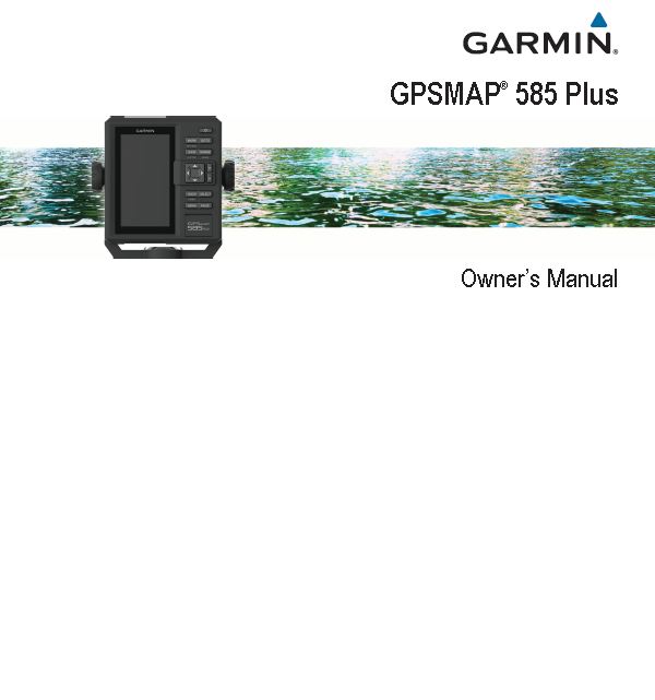
GARMIN GPS
GPS MAP 585 Plus
You can view information about sunrise, sunset, moonrise, moonset, moon phase, and the approximate sky view location of the sun and moon. The center of the screen represents the sky overhead, and the outermost rings represent the horizon. By default, the chartplotter shows celestial information for the present date and time.
You must be logged in to post a review.



 Shop
Shop
Reviews
There are no reviews yet.