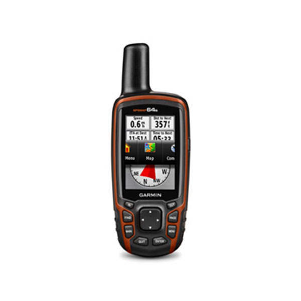
GPSMAP 64S , GPS , Marine GPS
categories:
Outdoor, Global Positioning System, Engineering Products, Selling Products
Availablity: Out stock
SKU: 0100.1199.10
- 3” Colour မျက်နှာပြင်ဖြင့် အသုံးပြုနိုင်ခြင်း၊
- Way Point 5000, Track 200, Route 200
- ဂြိုလ်တုဖမ်းနှုန်းမြင့်မားခြင်း၊
- Altimeter ဖြင့် အမြင့်ပေ တိုင်းတာနိုင်ခြင်း၊
- SD Card ထည့်သွင်းအသုံးပြုနိုင်ခြင်း၊
- ချောက်ကမ်းပါးနှင့် မြစ်ချောင်းများ၏ တစ်ဖက်တွင်ရှိသော အမှတ်များကိုမှတ်သားနိုင်ခြင်း၊
- အသုံးပြုသူ၏ လိုအပ်သော မြေပုံများ ထည့်သွင်းအသုံးပြုနိုင်ခြင်း။
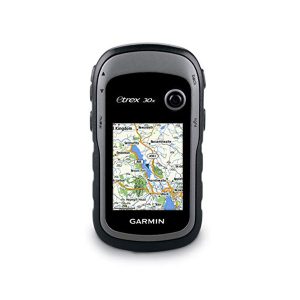
Rugged, Full-featured Handheld with GPS, GLONASS and Wireless Connectivity
This price is inclusive of Commercial Tax 5%.
Description
- 2.6-inch sunlight-readable color screen
- High-sensitivity GPS and GLONASS receiver with quad helix antenna
- 1-year BirdsEye Satellite Imagery subscription
- 3-axis compass with barometric altimeter
- Wireless connectivity via Bluetooth® technology¹ or ANT
- Preloaded Geocaches
- Live Tracking
- Smart Notifications
- Satellite Imagery
Physical & Performance
| Physical dimensions | 2.4″ x 6.3″ x 1.4″ (6.1 x 16.0 x 3.6 cm) |
| Display size, WxH | 1.43″ x 2.15″ (3.6 x 5.5 cm); 2.6″ diag (6.6 cm) |
| Display resolution, WxH | 160 x 240 pixels |
| Display type | transflective, 65-K color TFT |
| Weight | 8.1 oz (230 g) with batteries |
| Battery | 2 AA batteries (not included); NiMH or Lithium recommended |
| Battery life | 16 hours |
| Water rating | IPX7 |
| Memory/ History | 4GB |
| Interface | high-speed USB and NMEA 0183 compatible |
For detailed specifications refer to the Product Brochure.
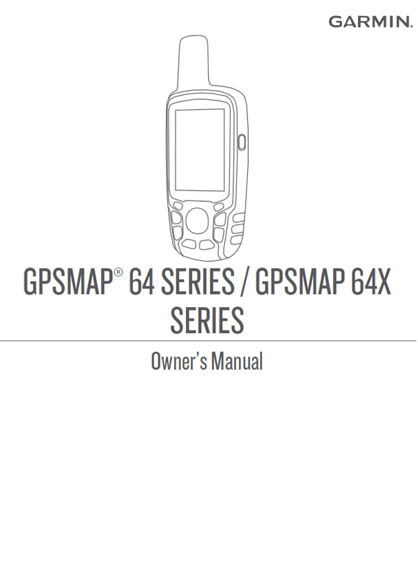
GARMIN GPS
GPSMAP 64S
You can group related items together as an adventure. For example, you can create an adventure for your latest hiking trip. The adventure could contain the track log of the trip, photos of the trip, and geocaches you hunted. You can use BaseCamp™to create and manage your adventures.
You must be logged in to post a review.

 Shop
Shop
Reviews
There are no reviews yet.