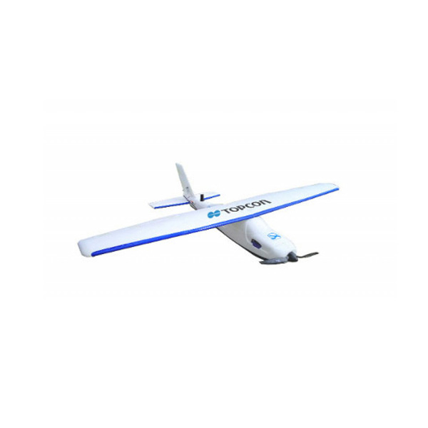
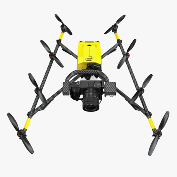
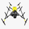
Sirius Pro Fixed Wing UVA & Intel Falcon 8+(Unmanned Aerial Vehicle)
categories:
Engineering Products, Selling Products
Availablity: in stock
SKU: Sirius Pro
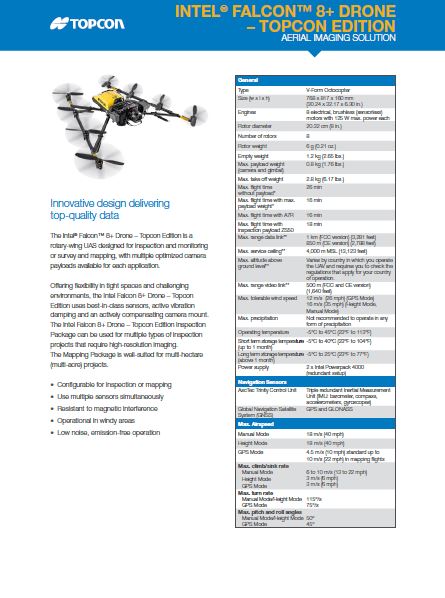
Aerial Mapping တိုင်းတာခြင်း Inspection လုပ်ငန်းများအတွက် အသုံးပြုရလွယ်ကူသော Topcon Aerial Imaging Solution
- Easy To Use
- Design For Stability
- Top Quality Data
- Aerial Mapping and Inspection
- Topcon Edition Aerial Imaging Solution
Description
- Automatic flight planning
- Simple hand launch and autopilot-assisted manual control
- High accuracy GNSS RTK mapping eliminates the need for GCP’s
- Fully operational up to wind speeds of 50km/h and gusts of 65 km/h
- High resolution 16MP Fujifilm X-M1 camera onboard
- Advanced post-processing and evaluation software
- Verification of Data Quality
Sirius Pro Specifications
| Dimensions | Wingspan: 163 cm x 120 cm |
| General |
Take-off weight: 2.7 kg
Max flight time: 50 min
Flight Modes: Automatic, autopilot supported, full manual
|
| Battery | Lithium-polymer 18.5 V 30 C 5300 mAh (98 Wh) |
| Payload: Camera | Fuji X-M1 with XF18mm f/2 R lens, 16 Mpix, Fixed focal length Optional NIR camera available |
| Launch Method | By hand |
| Typ. orthophoto flight altitude | 59 m – 750 m |
| Max windspeed for operation | 50 km/h (7 Bft) gusts, up to 65 km/h (8 Bft) |
| Operating Temperature | -20°C to +45°C |
| General | Operates in rain |
| Typical Cruise Speed | 65 km/h |
For detailed specifications refer to the Product Brochure.
Topcon
Sirius Pro Fixed Wing UVA & Intel Falcon 8+(Unmanned Aerial Vehicle)
Topcon Positioning Group announces the release of two Unmanned Aerial System (UAS) for mapping the Sirius Pro and Sirius Basic.
Both systems are designed to produce solutions for the automated mapping of a wide range of sites regardless of terrain— including construction sites, mines and quarries, and for use in land surveying, power line and pipeline inspection as well as precision agriculture field mapping.


 Shop
Shop