Global Positioning System
-
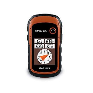
eTrex 20x ,Global Positioning System ,GPS
Greater resolution with 240 x 320 display pixels for improved readability Internal memory expanded to hold more maps High-sensitivity, WAAS-enabled GPS receiver with HotFix® and GLONASS support 2.2-inch color display Worldwide basemap with shaded relief Inquiry Now! -
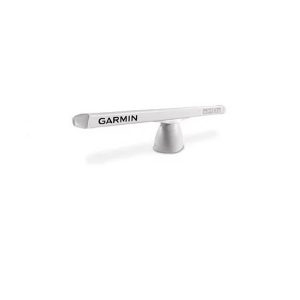
Open Type Radar ,6ft (GMR 626 xHD2 6 kW)
6-foot Open Array Radar with 6 kW of Power 6 kW high-definition radar with 6-foot open array High sensitivity with 1.1 degree horizontal beamwidth for consistent target positions, excellent target separation and reliable operation Dual range radar with dual radar… -
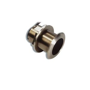
Airmar B60 (Bronze Transducer)
Watt (600) အစွမ်းရှိ ရေအောက်ကြည့် Sounder (မျက်စိ) လှိုင်းလွှင့်အား (၂) မျိုးဖြင့် အသုံးပြုနိုင်ခြင်း။ ရေအောက်အနက် ပေ (၁၂၀၀) အထိ အသုံးပြုနိုင်ခြင်း။ Inquiry Now! -
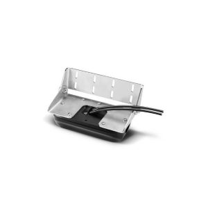
Transducer, Down View, 360-degree, PS-30
အောက်ကြည့် Transducer မိမိသင်္ဘော၏အောက်တည့်တည့် Range (120) ဒီဂရီအထိ ကြည့်ရှုနိုင်ခြင်း။ ရေအောက်မြင်ကွင်းကို Live View နှင့် 3D View အဖြစ် တစ်ခါတည်း ကြည့်ရှုနိုင်ခြင်း။ Inquiry Now! -
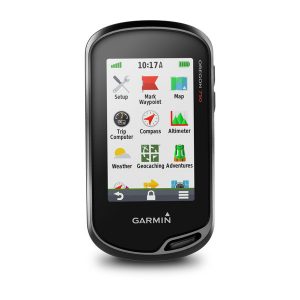
GPS-Outdoor HH, 4.5″, Colour, Touch-Screen, Oregon-750, Camera, Multi Touch
3" Touch Screen LiveTracking Live Geocaching 3D Electronic Compass 8MP Digital Camera Rugged GPS/GLONASS Handheld with Built-in Wi-Fi, Camera and More More Connectivity, Less Complexity Find Fun with Geocaching.com Take Geotagged Pictures Navigate Your Way Enjoy the View on a… -
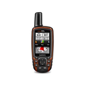
GPSMAP 64S , GPS , Marine GPS
3'' Colour မျက်နှာပြင်ဖြင့် အသုံးပြုနိုင်ခြင်း၊ Way Point 5000, Track 200, Route 200 ဂြိုလ်တုဖမ်းနှုန်းမြင့်မားခြင်း၊ Altimeter ဖြင့် အမြင့်ပေ တိုင်းတာနိုင်ခြင်း၊ SD Card ထည့်သွင်းအသုံးပြုနိုင်ခြင်း၊ ချောက်ကမ်းပါးနှင့် မြစ်ချောင်းများ၏ တစ်ဖက်တွင်ရှိသော အမှတ်များကိုမှတ်သားနိုင်ခြင်း၊ အသုံးပြုသူ၏ လိုအပ်သော မြေပုံများ ထည့်သွင်းအသုံးပြုနိုင်ခြင်း။ Rugged, Full-featured Handheld with GPS, GLONASS and Wireless Connectivity This price is inclusive… -
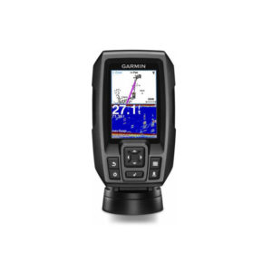
Tranducer, GPS-Sonar, 3.5″, Sticker-4 WW, w/4-pin DB CHIRP
၃ လက်မခွဲ ကာလာမျက်နှာပြင်ဖြင့် အသုံးပြုနိုင်သော ရေအောက်ငါးကြည့်စက် လိုင်းလွှင့်အား W200 ကို အသုံးပြုထားသဖြင့် ရေအောက်သို့ တိကျသေချာစွာ ကြည့်ရှုနိုင်ခြင်း GPS စနစ်ပါဝင်သောကြောင့် မြေပုံအကြမ်းစာမျက်နှာ၌ ပွိုင့်များ မှတ်သားနိုင်ခြင်း ငါးပုံသင်္ကေတဖြင့် ကြည့်ရှုနိုင်ခြင်း ရေအနက် ပေ ၁၆၀၀ အထိ ကြည့်ရှုနိုင်ခြင်း -
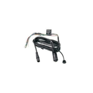
Cable, Power/Data for GPSMap 585
Garmin 010-10918-00 Cable, Power/data (0101091800) Fishfinder 300C Fishfinder 400C GPSMAP® 400 Series GPSMAP® 500 Series -
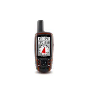
GPSMAP 62s
Handheld GPS with Wireless Connectivity 2.6" sunlight-readable color screen Built-in worldwide basemap with shaded relief High sensitivity quad helix GPS antenna for unparalleled reception 1.7 GB of internal memory 3-axis compass with barometric altimeter This price is inclusive of 5%… -
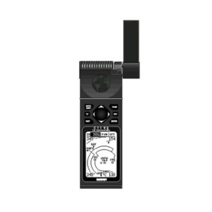
GPS 92
At the heart of the unit is a Jeppesen—database with approach, departure, and FSS and ARTCC frequencies. Airport, VOR, NDB, Intersection, and SUA information has never been handier, not to mention airport-specific runway and comm frequencies. What's more, the GPS… -
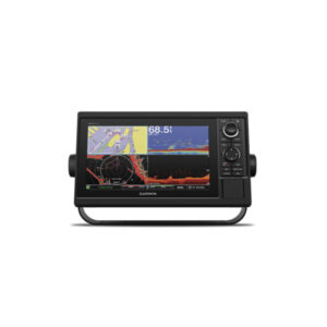
GARMIN Sounder AQUAMAP 1052xs
AQUAMAP 1052xs MFD Power/data cable NMEA 2000 T-connector NMEA 2000 drop cable (2 m) Bail mount kit with knobs Flush mount kit with gasket Protective cover Trim piece snap covers Documentation Inquiry Now! -
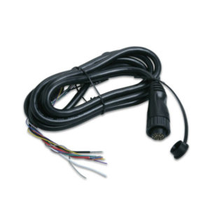
Cable, Data/Power for GPSMap 2108 ,Marine GPS
Garmin 010-10917-00 Power Data Cable For 400 500 Series (0101091700) Compatibility: Garmin GPSMAP Chartplotter 400/500 Series: 420 420s 421 421s 430 430s 431 431s 440 440s 441 441s 520 520s 521 521s 525 525s 526 526s 530 530s 531 531s…

 Shop
Shop