Engineering Products
-
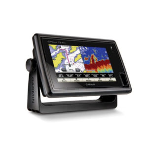
GPS-Combo, 7, Touch-screen, Map-721x
Chartplotter with a 7-inch Touchscreen Display 7-inch WVGA touchscreen display with pinch-to-zoom 10 Hz GPS/GLONASS receiver NMEA® 2000 and wireless connectivity Worldwide basemap GPSMAP 721 allows for easy visibility, day or night. Whether it is flat-, flush- or gimble-mounted, it… -
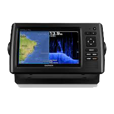
GPS-Combo, 7, Colour, echoMap-72-dv
(၇) လက်မ ကာလာမျက်နှာပြင်ဖြင့် အသုံးပြုနိုင်ခြင်း၊ ကြည်လင်ပြတ်သားသော ရေအောက်ကြည့် Sonar ပါ တစ်ပါတည်းတွဲဖက်ပါဝင်ခြင်း၊ အမှတ် (၅၀၀၀) လမ်းကြောင်း (၁၀၀) အထိ မှတ်သားနိုင်ခြင်း၊ စက်အတွင်း၌ ဂြိုလ်တုခေါင်း တစ်ပါတည်းပါဝင်ခြင်း၊ ရေအောက်အနက် ပေ (၂၀၀၀) အထိကြည့်ရှုနိုင်ခြင်း၊ လှိုင်းလွှင့်အား (၂)မျိုးရှိသော Sonar ခေါင်း တစ်ပါတည်း ပါဝင်ခြင်း။ -
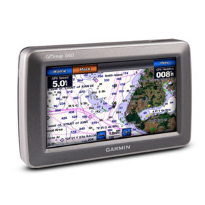
GPS-Combo, 5 MAP-580 w/o Sonar
The GPSMAP 580 is a full-function chart plotter that features an ultra-bright 5” WQVGA color display along with an improved feature of high-speed map drawing and panning. It’s ready to go with an easy-to-use interface and a built-in worldwide basemap.… -
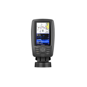
GPS-Combo, 4.3, echoMAP-Plus-45cv, CHIRP, APAC, w/o XDCR
Bright, sunlight-readable 4.3” combo Built-in support for Garmin CHIRP traditional sonar plus CHIRP ClearVü scanning sonar (transducer sold separately) Preloaded worldwide basemap; compatible with BlueChart g2 HD and BlueChart® g2 Vision HD Built-in Quickdraw Contours mapping software instantly creates personalized… -
GPS-Combo, 10.4, 640-Map-C
This mid-sized 4000 series chartplotter fills the gap between the smaller GPSMAP 4008 and the wider GPSMAP 4012. Like its counterparts, the 4010 serves as your all-in-one nerve center for the Garmin Marine Network. This chartplotter has crisp, video-quality resolution… -
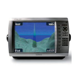
GPS-Combo, 10.4, 4010-Map
This mid-sized 4000 series chartplotter fills the gap between the smaller GPSMAP 4008 and the wider GPSMAP 4012. Like its counterparts, the 4010 serves as your all-in-one nerve center for the Garmin Marine Network. This chartplotter has crisp, video-quality resolution… -
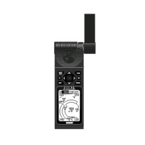
GPS 92
At the heart of the unit is a Jeppesen—database with approach, departure, and FSS and ARTCC frequencies. Airport, VOR, NDB, Intersection, and SUA information has never been handier, not to mention airport-specific runway and comm frequencies. What's more, the GPS… -
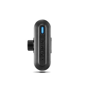
Golf Club Sensor,TruSwing, APAC
Use TruSwing golf swing sensor metrics to see how your mechanics affect ball flight and shot results Metrics include swing tempo, speed, club-path measurements, critical club angles and more Easily upload data to Garmin Connect™ online golf community for 3-D swing… -
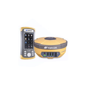
GNSS, HiPer-V Digital UHF II 410-470
Vanguard Technology™ Universal Tracking Technology Rugged, Magnesium Alloy Construction Integrated RTK and Static Receiver Fence Antenna signal tracking This price is inclusive of 5% commercial tax. -
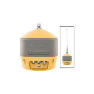
GNSS, HiPer-HR Kit, UHF Intl
Modern Hybrid of Positioning Technology Compact, lightweight, rugged design – capable of withstanding a 2 meter pole drop Five unique data communication options All signals, all satellites, all constellations Field tested, field ready IP67 design Compact form factor ideal for… -
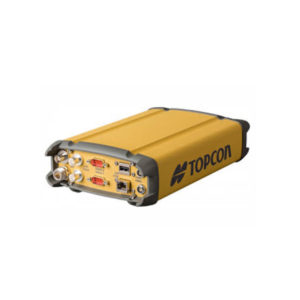
GNSS, CORS, Receiver, Net-G-5, Kit
Efficient signal tracking across the entire GNSS spectrum 452 Universal Channel Vanguard Technology Built-in Bluetooth and Wi-Fi connectivity Integrated web interface for remote management Up to 32GB internal memory This price is inclusive of 5% commercial tax. -
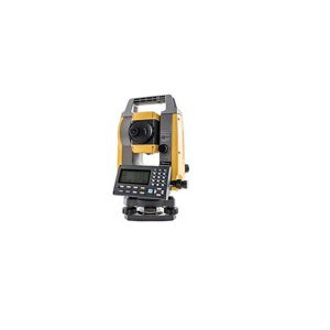
GM-52 , Total Station
The Topcon GM-52 is the 2" model in the GM-50 series of total stations. The GM-50 Series is the perfect entry-level site layout and survey tool offering reliability and flexibility without sacrificing cost or functionality. The sleek design is built…

 Shop
Shop