Engineering Products
-
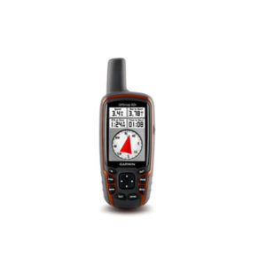
GPSMAP 62s
Handheld GPS with Wireless Connectivity 2.6" sunlight-readable color screen Built-in worldwide basemap with shaded relief High sensitivity quad helix GPS antenna for unparalleled reception 1.7 GB of internal memory 3-axis compass with barometric altimeter This price is inclusive of 5%… -
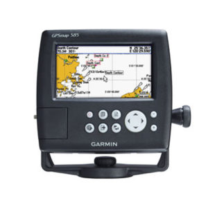
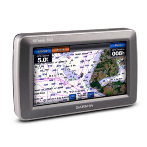
GPSMap 585 ,Ch Plotter, 5″, Colour, Marine GPS
The GPSMAP 585 is a full-function chart plotter that features an ultra-bright 5” WQVGA color display along with an improved feature of high-speed map drawing and panning. It’s ready to go with an easy-to-use interface and a built-in worldwide basemap.… -
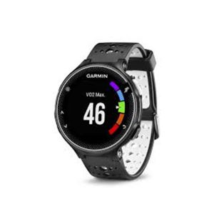
GPS-Watch, Smart, Sports, ForeRunner 230-Black (0100371781)
Tracks distance, pace, time, heart rate and VO2 Max Connected features: automatic uploads to Garmin Connect, live tracking, audio prompts, music controls, smart notifications and social media sharing Activity tracking counts daily steps, distance, calories and sleep Download data fields,… -
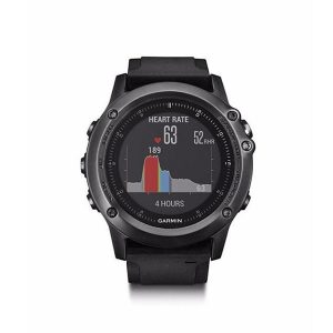
GPS-Watch, Smart, Sports, Fenix-3-HR, Garmin
Omni-directional stainless steel EXO antenna, with GPS/GLONASS satellite reception, has the ability to track in more challenging environments than GPS alone Elevate™ wrist heart rate technology¹ measures heart rate at the wrist Fitness training features like advanced running dynamics with… -
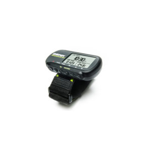
GPS-Watch, Smart, Sport, Garmin, 201 ForeRunner
The Forerunner 201 offers athletes a personal training device with GPS that measures speed, distance, pace and calories burned, and runs on a rechargeable lithium-ion battery. After you run, connect your Forerunner 201 to your computer to store and analyze… -
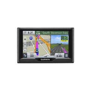
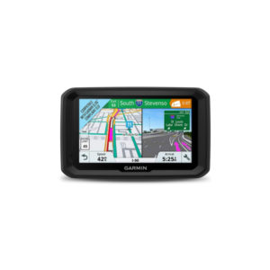
GPS-PND,for car, 5, Nuvi-57, with Myanmar MPC Map
Easy-to-use dedicated GPS navigator with 5.0-inch dual-orientation display Preloaded with detailed maps of the lower 49 U.S. states with free lifetime¹ map updates Garmin Real Direction guide like a friend using landmarks and traffic lights Find new and popular restaurants, shops… -
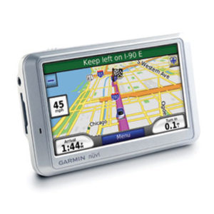
GPS-PND, Nuvi-710
Arrive stress-free with nüvi 710, a GPS navigator and personal travel assistant. Like the rest of the wide nüvi 700-series, its premium navigation capabilities, like route planning and an emergency locator, give you peace of mind on the go. -
GPS-Outdoor, 3, Colour, Touch-screen, Oregon-550
Capture locations and memories with a 3.2 megapixel autofocus digital camera with 4x digital zoom Tough, 3-inch diagonal, sunlight-readable, color touchscreen display Built-in 3-axis tilt-compensated electronic compass shows your heading even when you're standing still, without holding it level Barometric… -
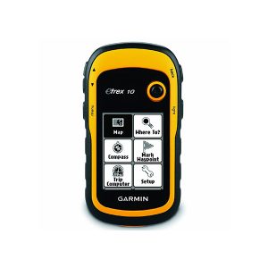
GPS-Outdoor HH, eTrex-10, 2.2″
2.2" မျက်နှာပြင်ဖြင့် အသုံးပြုနိုင်ခြင်း၊ GPS နှင့် GLONASS Satellites နှစ်မျိုးအား ဖမ်းယူနိုင်သဖြင့် လိုင်းဆွဲအား ကောင်းမွန်ခြင်း၊ Waypoint 1000, Track 100, Routes 50 ဈေးနှုန်းအထူးချိုသာခြင်း၊ သယ်ဆောင်ရလွယ်ကူခြင်း။ Rugged Handheld GPS with Enhanced Capabilities This price is inclusive of 5% Tax. -
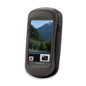
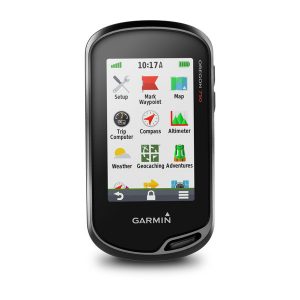
GPS-Outdoor HH, 4.5″, Colour, Touch-Screen, Oregon-750, Camera, Multi Touch
3" Touch Screen LiveTracking Live Geocaching 3D Electronic Compass 8MP Digital Camera Rugged GPS/GLONASS Handheld with Built-in Wi-Fi, Camera and More More Connectivity, Less Complexity Find Fun with Geocaching.com Take Geotagged Pictures Navigate Your Way Enjoy the View on a… -
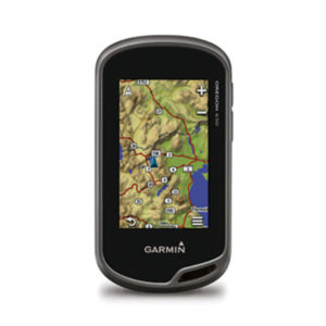
GPS-Outdoor HH, 3, Colour, Oregon 650-WW, camera, altimeter, compass
3-inch sunlight-readable touchscreen display with dual orientation 8 megapixel autofocus camera with LED flash/torch Worldwide basemap with shaded relief 3-axis compass with accelerometer and barometric altimeter sensors Dual battery system — 2 AA batteries or included rechargeable internal NiMH pack… -
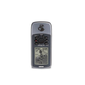
GPS-Outdoor HH, 2.6, 76-Map
The GPSMAP 76 adds an Americas, European or Pacific basemap and 8 megabytes (MB) of map storage space to the other outstanding features of the mariner-friendly 76-series navigators. The GPSMAP 76 floats in water, and it's IPX7 water resistant to… -
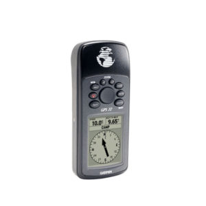
GPS-Outdoor HH, 2.2, GPS-72 Navigator
The mariner-friendly GPS 72 is WAAS-enabled for accuracy to within 9.84 ft (3 m) and features a large screen and easy-to-use buttons. The GPS 72 floats in water, and its IPX7 water resistant to withstand the accidental dunk or splash… -
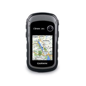
GPS-Outdoor HH, 2.2 colour, eTrex-30-x, altimeter, compass- for out door
Greater resolution with 240 x 320 display pixels for improved readability Internal memory expanded to hold more maps Worldwide basemap with shaded relief 2.2-inch, 65K color, sunlight-readable display 3-axis compass and barometric altimeter eTrex 30x is our upgraded version of… -
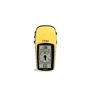
GPS-Outdoor HH, 2.1, e-Trex-H
Perfect for outdoor enthusiasts on a budget, eTrex H comes with a high-sensitivity GPS receiver that locks onto satellite signals quickly and maintains accuracy — even in the toughest conditions. And just like the popular eTrex, this little yellow wonder… -
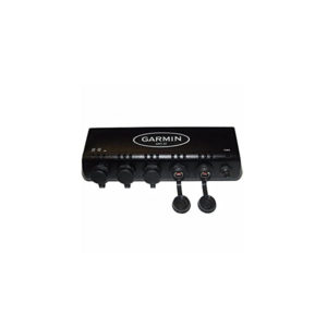
GPS-MFD, Modem, Mar 2108 Map C for GMS-10
Marine Port Expander Waterproof Connects Multiple MFD's & Sensors Plug-&-Play -Automatically Detects Unit at Connection 100 Megabit Proprietary Network Same Network Cable for Direct Unit-to-Unit or Unit-to-Port Expander For GPSMAP 3200 Series -
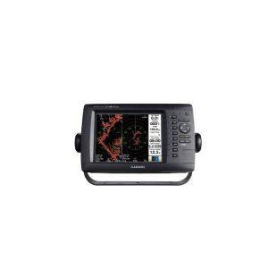
GPS-MFD, 8, Colour, MAP-2108-Plus, Myanmar Font
မြန်မာစာတန်းထိုးဖြင့် အသုံးပြုနိုင်ခြင်း။ ၈ လက်မ ကာလာမျက်နှာပြင်ဖြင့် အသုံးပြုနိုင်ခြင်း။ Point (12000), Tracks (200), Routes (100) ထိ မှတ်သားနိုင်ခြင်း။ ရေဒါဖြင့် တွဲဖက်အသုံးပြုနိုင်ခြင်း။ -
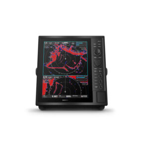
GPS-Marine, Radar Display CR1522, 15
Under the sun, yet the large, glass-bonded screen is still readable. Being on the radar means offering both traditional and solid-state. A good track record starts with simplify Target Tracking (TT). Follow up to 50 targets. Go long (or short)… -
GPS-Marine, 4, 152-H
Get quality trackplotting with the high-sensitivity GPS 152H, a grayscale trackplotter with easy-to-use features that fits both your boat and your budget. Acquire Satellites Quickly The GPS 152H features a high-sensitivity GPS receiver, an internal GPS antenna and a built-in… -
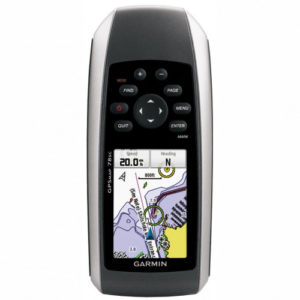
GPS-Marine HH, 2.6″, Colour, Map 78-s, Altimeter, Compass
မြန်မာစာတန်းထိုးဖြင့် အသုံးပြုနိုင်ခြင်း၊ ဂြိုလ်တုဖမ်းနှုန်းမြင့်မားခြင်း၊ ရေကြောင်း နှင့် ကုန်းကြောင်း နှစ်မျိုးအသုံးပြုနိုင်ခြင်း၊ ၃ လက်မ၊ ကာလာမျက်နှာပြင်ဖြင့် အသုံးပြုနိုင်ခြင်း၊ လိုအပ်သည့်မြေပုံ၊ ရေပုံ များထည့်သွင်းအသုံးပြုနိုင်ခြင်း၊ Point (2000), Tracks (200), Routes (50) အထိ မှတ်သားနိုင်ခြင်း။ rugged GPSMAP 78s features a 3-axis compass, barometric altimeter, crisp color mapping, high-sensitivity receiver, new molded rubber side… -
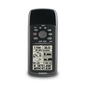
GPS-Marine HH, 2.2, 72-H SEA
Garmin 72H Waterproof Handheld GPS with High-Sensitivity Marine-friendly handheld floats in water and is IPX7 waterproof 120 x 160 pixel grayscale display and 18 hour battery life High-sensitivity GPS receiver acquires satellite signals quickly Tracks your location in challenging conditions,… -
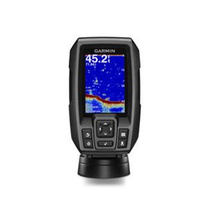
GPS-Fish-Finder,3.5,CHIRP,FF-250, w/4-pin DB Transducer
Multi language support: FF250 GPS is available in the following 8 languages so you can use more effectively, including English, Simplified Chinese, Thai, Vietnamese, Malaysia Bahasa, Hindi, Gujarat and Tagalog. One new Over Voltage Protection design that with an… -
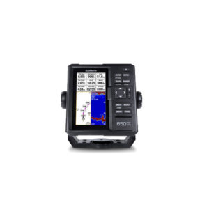
GPS-Fish-Finder, 6, FF-650-GPS APAC, Display only, AIS compatble
Multi language support : English, Simplified Chinese, Traditional Chinese, Japanese, Korean, Indonesia Bahasa, Malaysia Bahasa, Vietnamese, Burmese, Thai. Available in bigger and clearer 6-inch WVGA color, portrait mode display. Offers a keyed interface with dedicated buttons. CHIRP sonar sends a… -
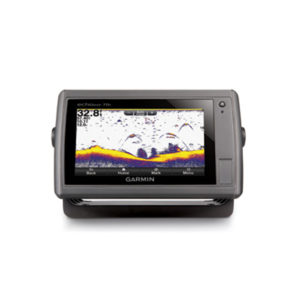
GPS-Combo, 7, Touch, Colour, echoMAP-70-s
An Amazing Combo with a 7" Touchscreen Display 7" WVGA touchscreen display with pinch-to-zoom HD-ID sonar 500W (77/200 kHz) transducer 10 Hz GPS/GLONASS receiver Wireless connectivity -
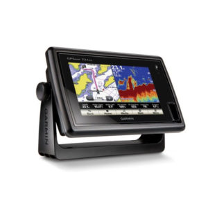
GPS-Combo, 7, Touch-screen, Map-721x
Chartplotter with a 7-inch Touchscreen Display 7-inch WVGA touchscreen display with pinch-to-zoom 10 Hz GPS/GLONASS receiver NMEA® 2000 and wireless connectivity Worldwide basemap GPSMAP 721 allows for easy visibility, day or night. Whether it is flat-, flush- or gimble-mounted, it… -
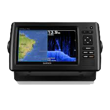
GPS-Combo, 7, Colour, echoMap-72-dv
(၇) လက်မ ကာလာမျက်နှာပြင်ဖြင့် အသုံးပြုနိုင်ခြင်း၊ ကြည်လင်ပြတ်သားသော ရေအောက်ကြည့် Sonar ပါ တစ်ပါတည်းတွဲဖက်ပါဝင်ခြင်း၊ အမှတ် (၅၀၀၀) လမ်းကြောင်း (၁၀၀) အထိ မှတ်သားနိုင်ခြင်း၊ စက်အတွင်း၌ ဂြိုလ်တုခေါင်း တစ်ပါတည်းပါဝင်ခြင်း၊ ရေအောက်အနက် ပေ (၂၀၀၀) အထိကြည့်ရှုနိုင်ခြင်း၊ လှိုင်းလွှင့်အား (၂)မျိုးရှိသော Sonar ခေါင်း တစ်ပါတည်း ပါဝင်ခြင်း။ -
GPS-Combo, 5 MAP-580 w/o Sonar
The GPSMAP 580 is a full-function chart plotter that features an ultra-bright 5” WQVGA color display along with an improved feature of high-speed map drawing and panning. It’s ready to go with an easy-to-use interface and a built-in worldwide basemap.… -
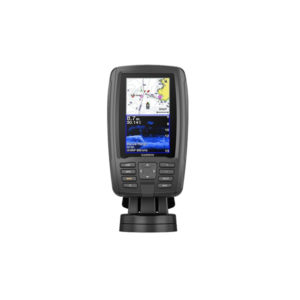
GPS-Combo, 4.3, echoMAP-Plus-45cv, CHIRP, APAC, w/o XDCR
Bright, sunlight-readable 4.3” combo Built-in support for Garmin CHIRP traditional sonar plus CHIRP ClearVü scanning sonar (transducer sold separately) Preloaded worldwide basemap; compatible with BlueChart g2 HD and BlueChart® g2 Vision HD Built-in Quickdraw Contours mapping software instantly creates personalized… -
GPS-Combo, 10.4, 640-Map-C
This mid-sized 4000 series chartplotter fills the gap between the smaller GPSMAP 4008 and the wider GPSMAP 4012. Like its counterparts, the 4010 serves as your all-in-one nerve center for the Garmin Marine Network. This chartplotter has crisp, video-quality resolution… -
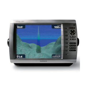
GPS-Combo, 10.4, 4010-Map
This mid-sized 4000 series chartplotter fills the gap between the smaller GPSMAP 4008 and the wider GPSMAP 4012. Like its counterparts, the 4010 serves as your all-in-one nerve center for the Garmin Marine Network. This chartplotter has crisp, video-quality resolution… -
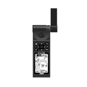
GPS 92
At the heart of the unit is a Jeppesen—database with approach, departure, and FSS and ARTCC frequencies. Airport, VOR, NDB, Intersection, and SUA information has never been handier, not to mention airport-specific runway and comm frequencies. What's more, the GPS… -
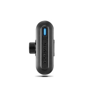
Golf Club Sensor,TruSwing, APAC
Use TruSwing golf swing sensor metrics to see how your mechanics affect ball flight and shot results Metrics include swing tempo, speed, club-path measurements, critical club angles and more Easily upload data to Garmin Connect™ online golf community for 3-D swing… -
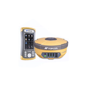
GNSS, HiPer-V Digital UHF II 410-470
Vanguard Technology™ Universal Tracking Technology Rugged, Magnesium Alloy Construction Integrated RTK and Static Receiver Fence Antenna signal tracking This price is inclusive of 5% commercial tax. -
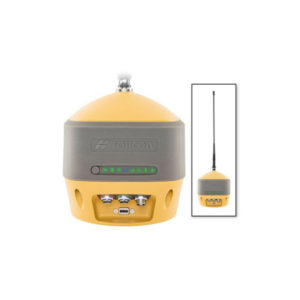
GNSS, HiPer-HR Kit, UHF Intl
Modern Hybrid of Positioning Technology Compact, lightweight, rugged design – capable of withstanding a 2 meter pole drop Five unique data communication options All signals, all satellites, all constellations Field tested, field ready IP67 design Compact form factor ideal for… -
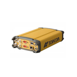
GNSS, CORS, Receiver, Net-G-5, Kit
Efficient signal tracking across the entire GNSS spectrum 452 Universal Channel Vanguard Technology Built-in Bluetooth and Wi-Fi connectivity Integrated web interface for remote management Up to 32GB internal memory This price is inclusive of 5% commercial tax. -
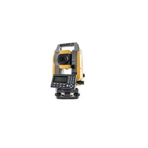
GM-52 , Total Station
The Topcon GM-52 is the 2" model in the GM-50 series of total stations. The GM-50 Series is the perfect entry-level site layout and survey tool offering reliability and flexibility without sacrificing cost or functionality. The sleek design is built…

 Shop
Shop